News & Articles
Browse all content by date.
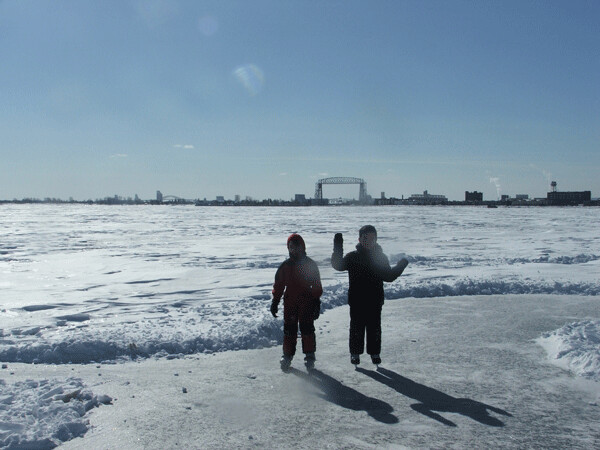
Two kids on the People's Free Skating Rink. Photo credit: John Ramos
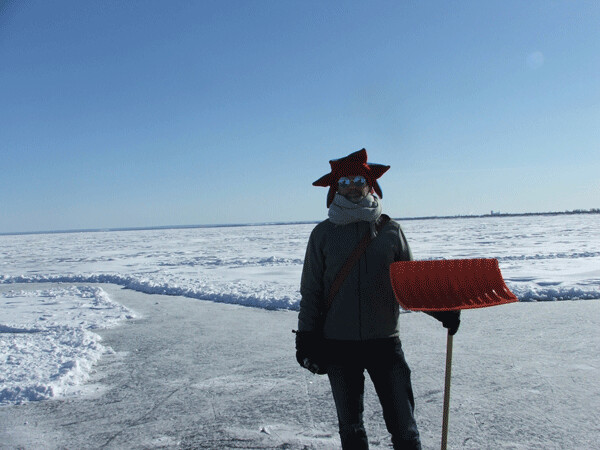
Jim Richardson. Photo credit: John Ramos
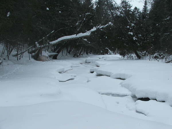
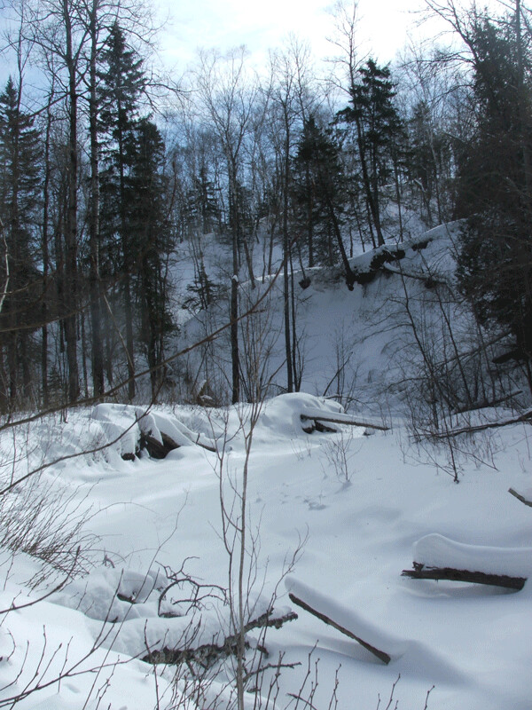
People’s Free Skating Rink
If you were passing by Leif Erikson Park recently and thought you saw tiny people speeding about far out on Lake Superior, you can relax: You’re not crazy. Duluthian Jim Richardson and a few of his friends have shoveled off a good-sized area of the big lake to create the People’s Free Skating Rink of Duluth.
Due to wave action, cross-currents, freeze-thaw cycles, and snowfall, it is difficult to find good, level ice for skating on Lake Superior. When I spoke with Richardson at the People’s Rink on Feb. 18, he said he had been waiting for the right conditions for a long time. “Max Moen and I did this four years ago [near] the Vietnam Vet Memorial, and no one really enjoyed it but the two of us. It was only extant for a couple days before it got dumped on by a lot of wet snow and just became impassable ... [so] I’ve been waiting for these conditions for, like, four years. I got out on the ice before the snow hit for a couple days. It was the time of my life. And then the snow hit, and [I was] sort of bummed for a week or two, and then I took a walk all up and down here and found this patch of ice. I was like, ‘I know I can shovel that ice off. There’s skate-able ice down there.’ And it really wasn’t that difficult. And it has been the time of my life.”
Richardson estimated that it took him and three “reprobate friends” about 8 hours to clear the rink, which consists of two larger cleared areas and several looping paths extending out into the great unknown. During the two hours that I and my boys spent skating, three other people came and went. As we were leaving, a larger group of six or seven arrived.
Richardson was happy with all the activity. “Essentially, I did this for myself, [but] the fact that others can take part and enjoy it is icing on the cake.”
The People’s Free Skating Rink can be accessed by walking onto the ice from the stone pavilion in Leif Erikson Park. A couple of orange traffic cones are set up on the ice as markers. Richardson said he intends to keep the rink open for as long as he can keep ahead of the snow. You should check it out.
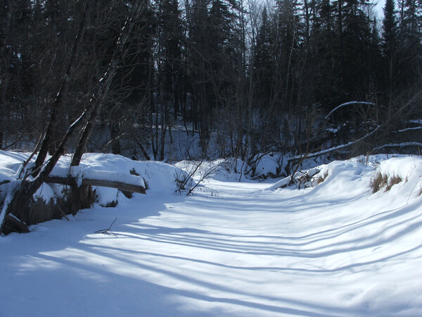
Amnicon River. Photo credit: John Ramos
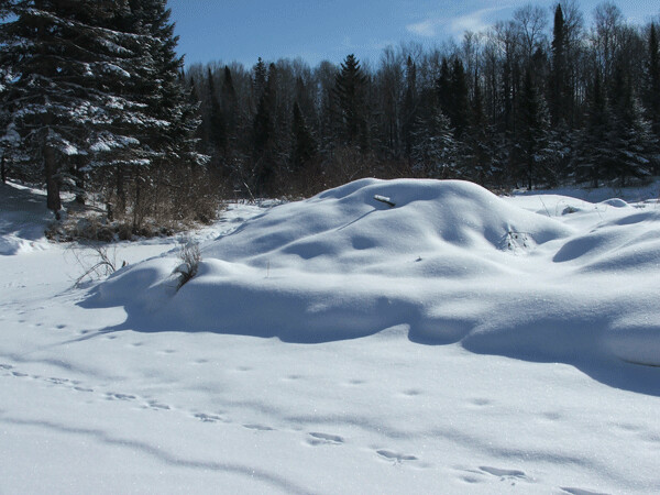
Beaver lodge on Bear Creek. Photo credit: John Ramos
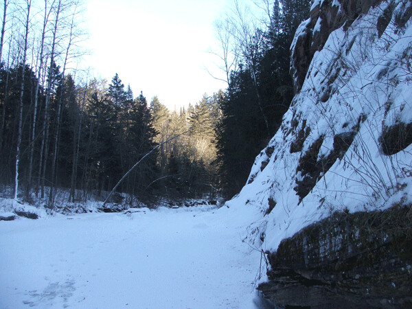
Black River. Photo credit: John Ramos
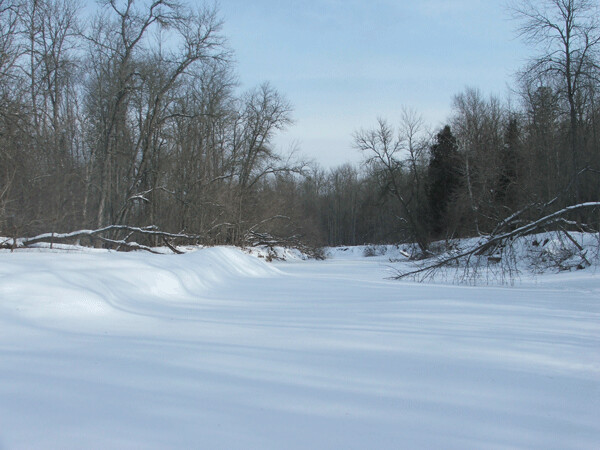
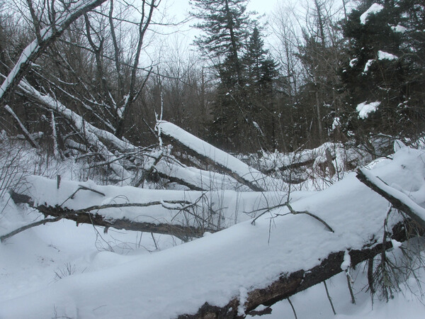
River walking
Another fun winter activity is river walking. This is a two-step process: First you find a frozen river or creek, and then you walk on it. There is a great variety of waterways in the Duluth/Superior area. Some are open and inviting, while others are narrow, choked with deadfalls, and virtually impassable. Each winter between mid-January and mid-March I hit as many as I can, following the natural avenues into wild areas that I might never see otherwise.
Bluff Creek. Photo credit: John Ramos
Icy banks on Mission Creek. Photo credit: John Ramos
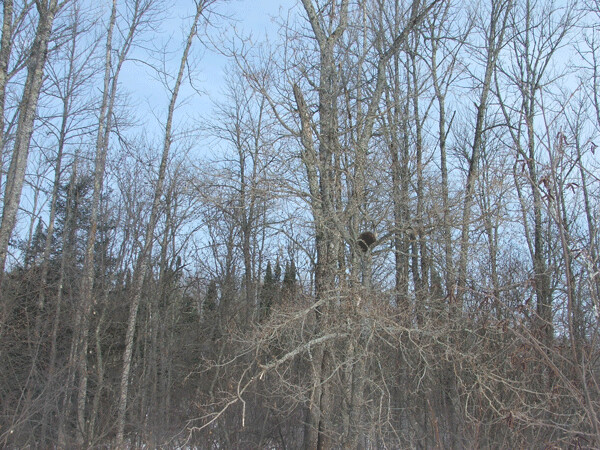
Porcupine near Amnicon River. Photo credit: John Ramos
Sargent Creek. Photo credit: John Ramos
A more typical view of Sargent Creek. Photo credit: John Ramos
If people are interested in this, a nice reasonable river walk to start with is the Amnicon River, beginning at Highway 13 and following it three miles or so down to Lake Superior. The Amnicon is wide enough that you don’t have to contend with fallen trees and brush, and it passes through some wild and picturesque country. At this point in the season, with all the snow we’ve been having, snowshoes would probably help—although, when a friend and I walked it on Feb. 2, we found that local residents had established a narrow, hard-packed trail for much of the way, rendering snowshoes unnecessary.
Google Maps is a great help in finding and plotting river walks. Don’t count on walking much faster than a mile an hour; if it’s rough, you’ll go even slower. On Feb. 16, when I was planning a walk along Sargent Creek, I looked at Google Maps and calculated that it would take me 3 hours to walk 3.5 miles from Becks Road to Boyscout Landing. How wrong I was. After 5 hours of thrashing through brush, falling through the ice, and floundering on my back in deep snow like a turtle, I eventually emerged, wild-eyed and twig-covered, on Burger Drive in Gary. Total distance covered: 2.5 miles. So I wouldn’t really recommend starting with that one.
| Tweet |